What is a bathymetric survey?
A bathymetric survey maps the underwater bed of a reservoir, river or lake using echo sounders positioned by DGPS. The output is a bed-level contour chart, capacity-elevation curve or sedimentation estimate used by dam operators, engineers and researchers.
What accuracy can be achieved?
With RTK-corrected DGPS positioning and a calibrated echo sounder, horizontal accuracy of ±5 cm is achievable, with depth accuracy of roughly 0.1% of depth plus sensor tolerance. Every HSSPL survey is checked against established ground control before handover.
How long does a reservoir capacity survey take?
A small barrage pond can be sounded in 2–4 days; a large hydropower reservoir typically takes 2–4 weeks including mobilisation, control establishment, sounding runs and processing — depending on area, access and weather window.
What deliverables do we receive?
Bed-level contour charts, capacity-elevation and area-elevation curves, sediment volume computation, river cross-sections and L-sections, GIS-ready shapefiles, CAD drawings (DWG/DXF) and a survey report with control-point records and accuracy statement.
Can you survey remote Himalayan reservoirs?
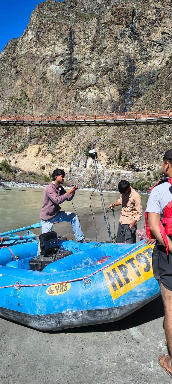
Yes — this is our specialty. Our crews mobilise inflatable vessels and echo sounders to remote, high-altitude sites with limited road access, where conventional survey boats cannot be transported.