Surveying the Himalaya since 1987, HSSPL delivers topographical, hydrographic, UAV/LiDAR and GIS survey solutions for hydropower and infrastructure projects across India's toughest terrain — trusted by NHPC, SJVN, CVPPPL, L&T and JICA-funded consultants.
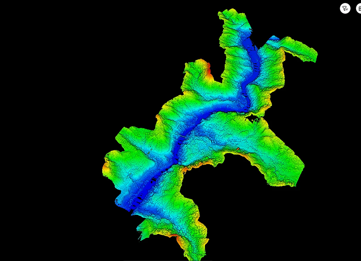
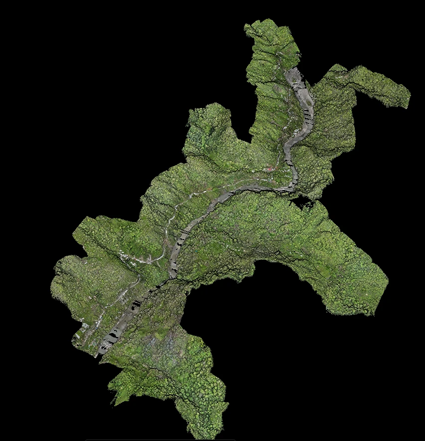
UAV LiDAR · CLASSIFIED POINT CLOUD
RGB CLOUD
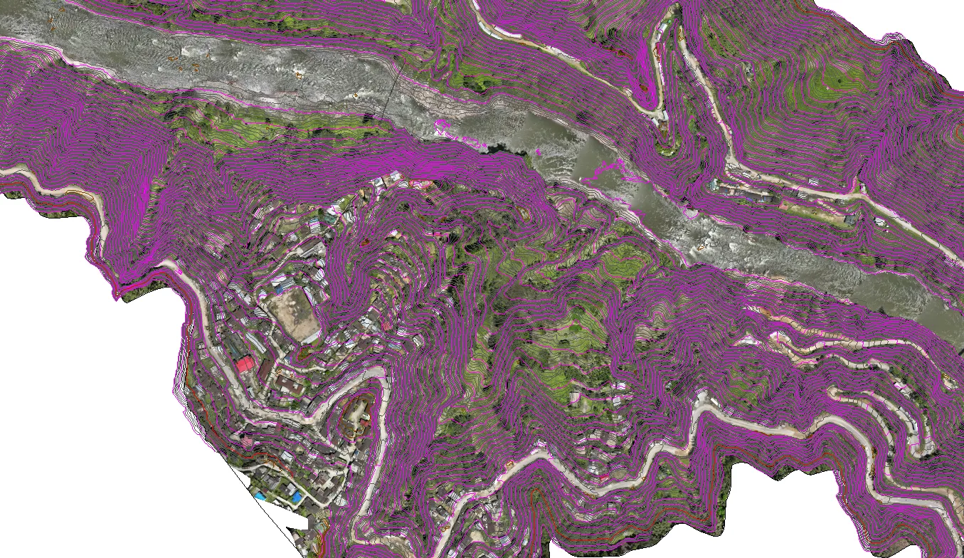
ORTHO · CONTOURSWe now take the survey onto — and under — the water. An uncrewed survey vessel for autonomous reservoir and river bathymetry, and an underwater ROV for submerged inspection where divers can't safely reach.

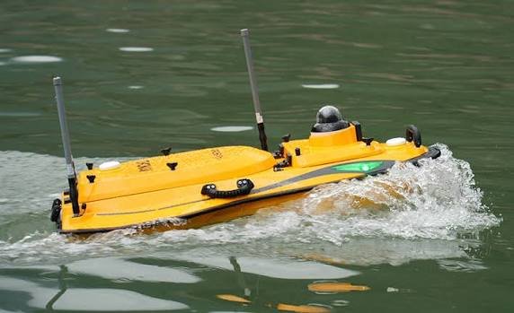
Uncrewed surface vehicle for single- and multi-beam reservoir and river bathymetry — safe, repeatable line-keeping in waters too hazardous or shallow for crewed boats.

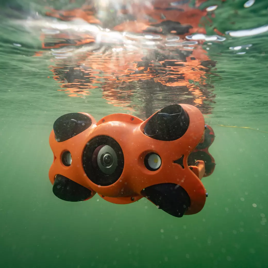
Remotely operated underwater vehicle for dam face, intake, tunnel and submerged-structure inspection — high-definition visual survey without putting divers at risk.
Nearly four decades of fieldwork in remote, high-altitude terrain shaped how we operate — rigorous ground control, owned equipment, and crews that don't stop at the end of the motorable road.
Specialised experience in remote, high-altitude and challenging terrain surveys across HP, Uttarakhand, J&K and the North-East.
Own UAV/LiDAR fleet, GNSS receivers and echo sounders — ensuring availability, quality control and cost efficiency.
Registered and empanelled with NHPC, CVPPPL and other major PSU clients, with completion certificates to show for it.
Headquartered in Paonta Sahib, HP with local teams — reducing mobilisation time and cost for Himalayan projects.
Experience on JICA-funded projects through Oriental Consultants Global, working to international QA standards.
From field acquisition to final GIS deliverables — processing, drafting and database creation all under one roof.
We run the complete field-to-finish pipeline in-house — acquisition, processing and engineering deliverables — so your project gets one accountable team on the ground.
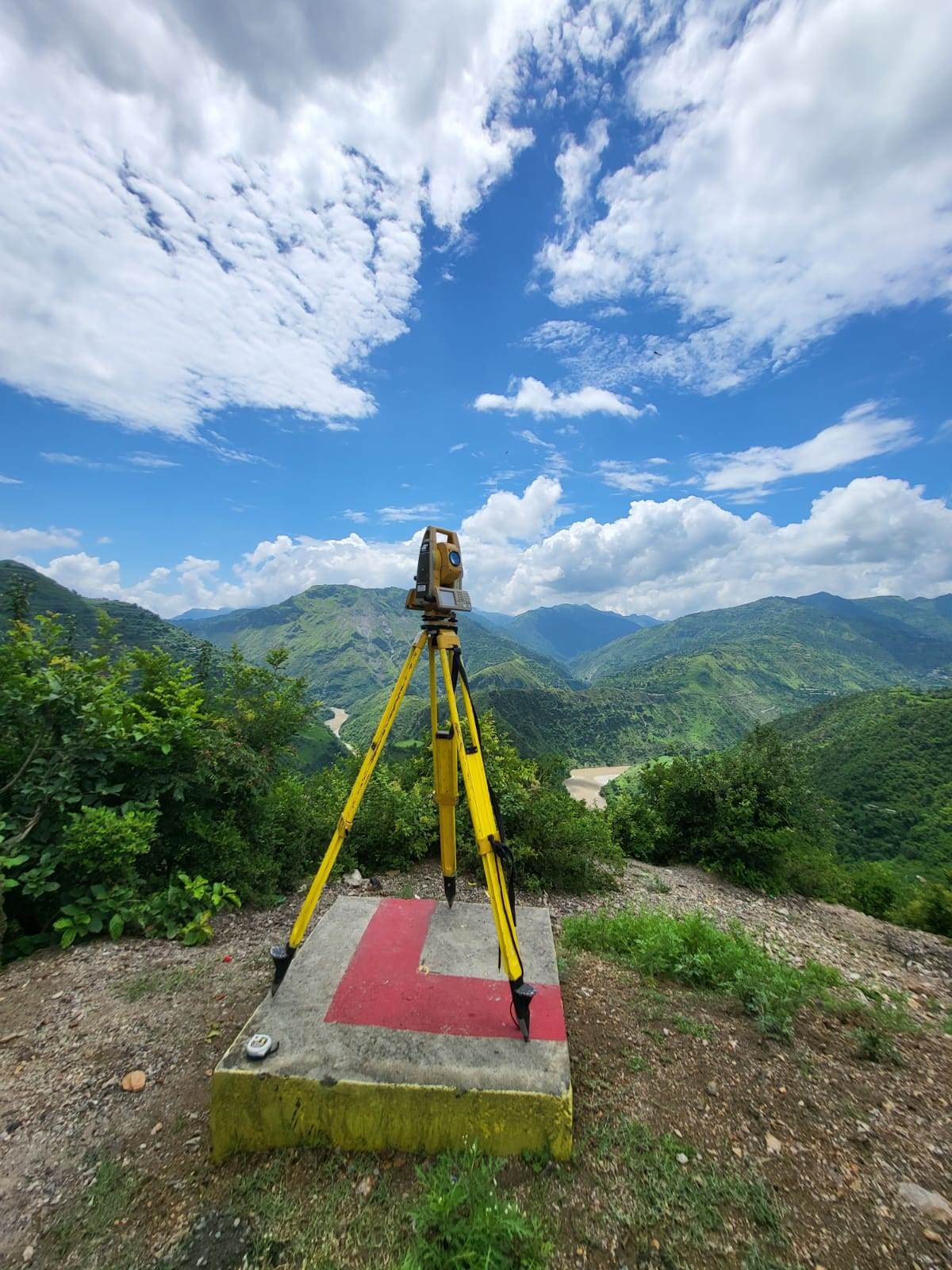
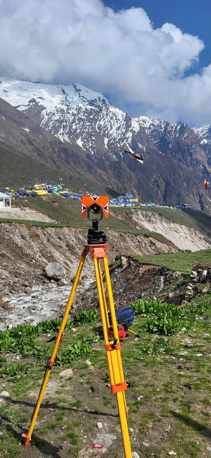
Large and small scale topographic surveys for hydropower, roads, tunnels and infrastructure using total stations, GNSS and UAV photogrammetry.
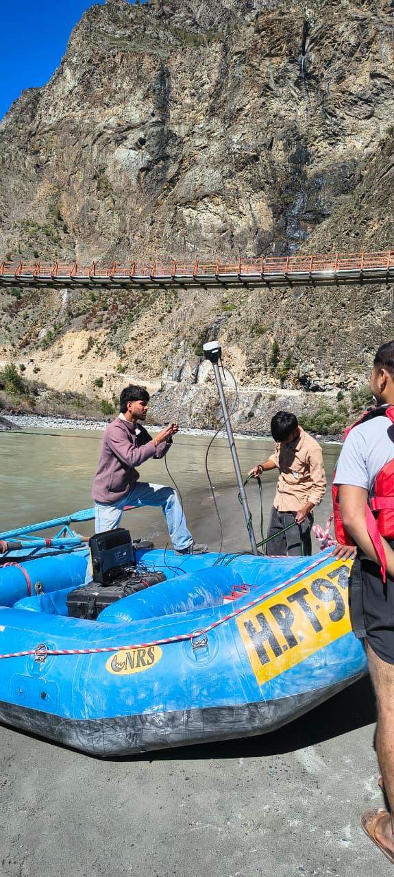
Contour MappingCross-sectionsL-sectionsReservoir, river and lake bed surveys using single-beam and multi-beam echo sounders for siltation studies, capacity assessment and dam safety.
SBESMBESSiltation StudyHigh-resolution aerial photogrammetry and mapping using NPNT-compliant survey drones for rapid coverage of large and inaccessible areas.
OrthomosaicDSM / DTM3D ModelsAirborne and terrestrial LiDAR for dense point clouds, corridor mapping and feature extraction in dense vegetation or complex terrain.
Point CloudCorridor MappingFeature ExtractionSpatial data management, GIS database creation, thematic mapping and digitisation for urban planning, utilities and government departments.
DigitisationSpatial AnalysisThematic MapsAlignment and setting-out surveys, DPR preparation for roads, and structural design of engineering structures for infrastructure and hydropower projects.
Road DPRAlignmentStructural DesignEvery survey closes with a complete, ready-to-use data package — checked against ground control and handed over in the formats your consultants and contractors actually work in.
// SAMPLE JOB SPECIFICATION PROJECT : Reservoir bathymetry, 14 km² METHOD : SBES + DGPS-RTK control GSD : 3 cm / pixel (UAV ortho) CONTOUR : 0.5 m interval DATUM : WGS-84 / UTM 43N OUTPUTS : ORTHO · DTM · DWG · SHP ACCURACY : ±5 cm horizontal (RTK) // Field to final drawing — one team.


The same field-proven workflow runs behind every survey we deliver — whether it's a 2-hectare plot or a 1000 MW pumped-storage reservoir.
Terrain assessment, permissions, flight planning and method selection matched to your accuracy specification.
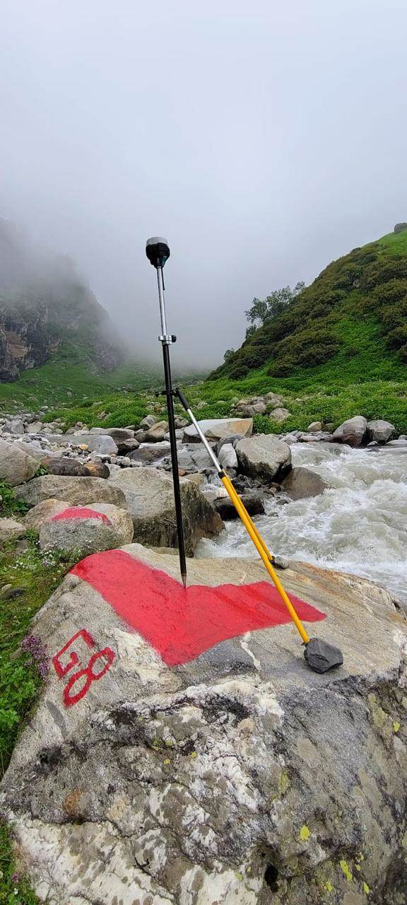
Permanent control points established with DGPS-RTK observations, tied to the national grid and documented.
UAV sorties, echo-sounder runs or total-station observation — executed by experienced Himalayan field crews.
Photogrammetric, LiDAR and hydrographic processing in Agisoft Metashape, Global Mapper and Trimble Business Center with full traceability.
Every surface and drawing independently checked against ground control before it leaves our office.
Complete data package handover with survey report — and engineering support throughout your project.
Key projects executed across Himalayan and remote terrain for PSUs, IPPs and international consultants.
Photogrammetry & LiDAR topographic survey with RTK boat-mounted multi-beam bathymetry — Arunachal Pradesh
Topographical & bathymetric survey — Dehradun (UK) & Sirmaur (HP)
Detailed topographic survey on river Chenab, 87 sq km — Lahaul-Spiti & Chamba, HP
Topographical survey of 1,500 ha using UAV & DGPS — Kishtwar, J&K
Digital topographic & bathymetric survey of forest land & power channel — Rishikesh, UK
Topographic survey & associated works in hill terrain — Uttarakhand
Replenishment study with drone, DGPS & eco-sounder over 27.5 km — Odisha / West Bengal
Topographic, drone (LiDAR) & bathymetric survey — Nilgiri District, Tamil Nadu
LiDAR survey of the complete temple complex — Shri Mata Vaishno Devi Shrine Board, J&K
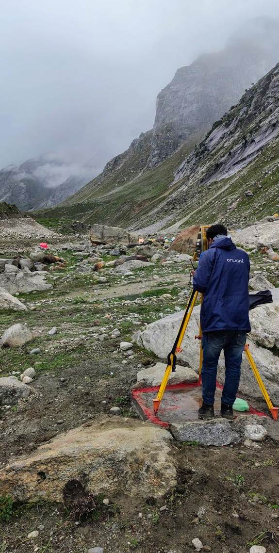
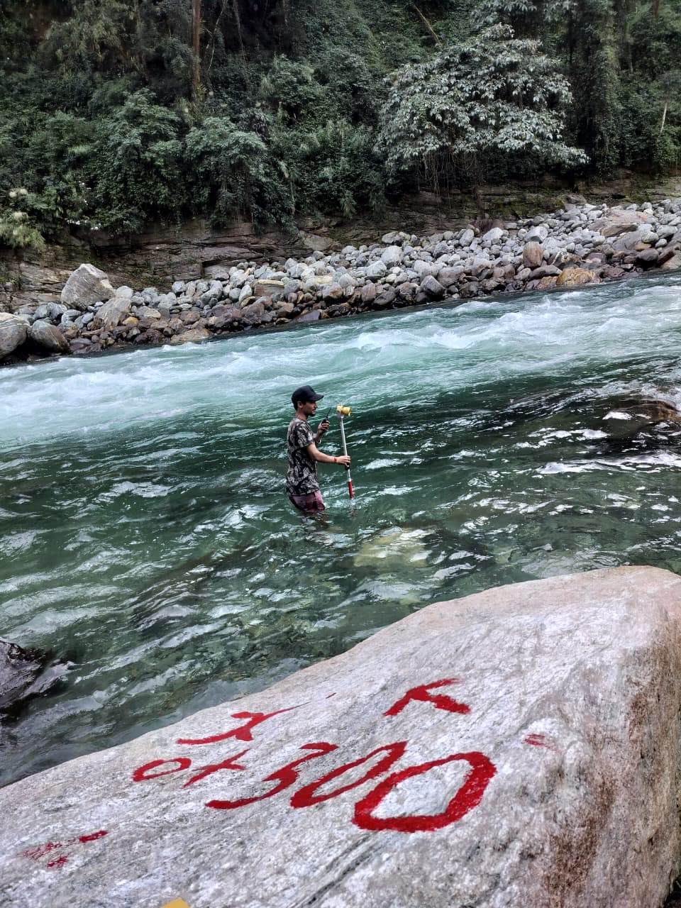
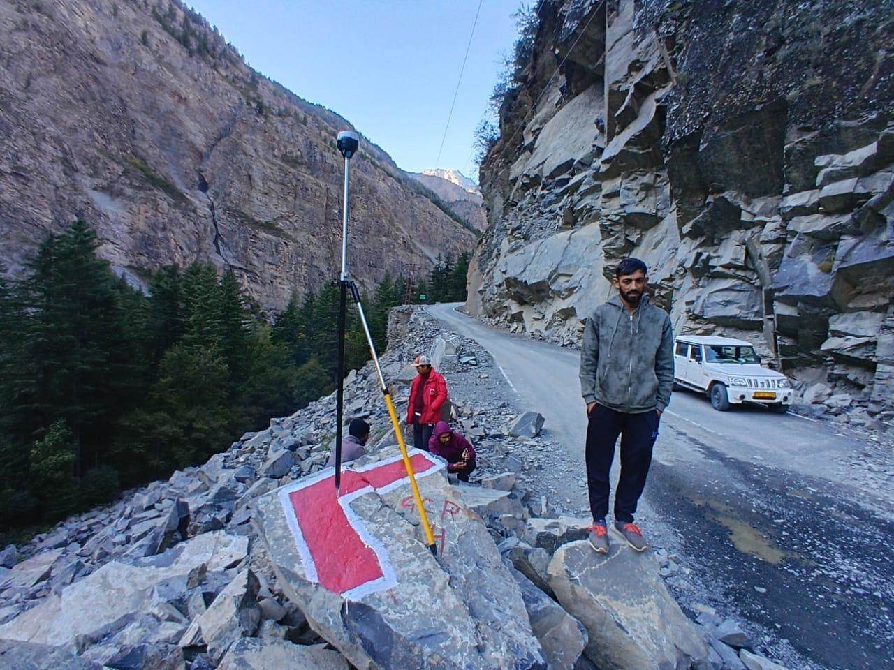
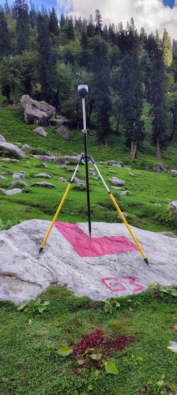
Every photograph below is from an HSSPL project site — our own crews, our own instruments, no stock photography.


Our fleet and software stack stay in-house — so availability, calibration and data quality are always under our control.
NPNT-compliant survey drones for photogrammetry and LiDAR corridor mapping in hill terrain.
Emlid, Leica/Geomax and Hi-Target DGPS-RTK receivers with Topcon & Sokkia total stations — ±5 cm horizontal.
Single-beam and multi-beam echo sounders for reservoir, river and lake bed surveys.
Licensed professional suite for photogrammetry, point-cloud and GIS processing — engineering-grade DWG, LAS and GeoTIFF outputs.
// COMPANY DATASHEET ENTITY : Himalayan Surveying Services Pvt. Ltd. FOUNDED : 1987 (proprietorship) PVT LTD : Jan 2017 CIN : U93000HP2017PTC006609 GSTIN : 02AAECH1928H1ZY QUALITY : ISO 9001:2015 certified STATUS : ACTIVE HQ FIX : 30.4366° N, 77.6246° E // Paonta Sahib · Sirmaur · HP
Himalayan Surveying Services was founded in 1987 in Paonta Sahib by Anil Sharma, a former Survey of India officer — surveying country where roads switchback, signals drop and every contour matters. In January 2017 the firm became Himalayan Surveying Services Pvt. Ltd., adding drone, LiDAR and GIS capability while keeping the field discipline it was built on. Today, an ISO 9001:2015 certified company, we serve hydropower, infrastructure and government clients across India.
Anil Sharma founded Himalayan Surveying Services in 1987 after serving with the Survey of India. A native of Himachal Pradesh with deep knowledge of mountainous terrain, he built the firm's reputation for precision surveying on the hardest Himalayan ground — the foundation HSSPL still stands on today.
Surrounded by his father's work from an early age, Piyush pursued surveying into higher study — a B.Tech in Civil Engineering followed by an M.Tech in Geomatics from IIT (ISM) Dhanbad, with training at ISRO. He leads the company's drone, LiDAR, GIS and photogrammetry capability, having delivered over 1,000 projects across infrastructure, mining, reservoirs and renewable energy.
Connect on LinkedIn
A consistent academic achiever, Prarthna holds a B.Tech in Civil Engineering and was a gold medalist in her M.Tech in Remote Sensing & GIS from NIT Warangal, with an internship at IIRS, ISRO Dehradun. At HSSPL she leads administration and bidding and heads the production team — driving the company's standard for precise, on-time data delivery.
Share your location and requirement — a surveyor (not a sales bot) will get back to you with a method, timeline and quote.
Get in touchProject enquiries, tender information or partnerships — we usually respond within one working day.